 Northlane
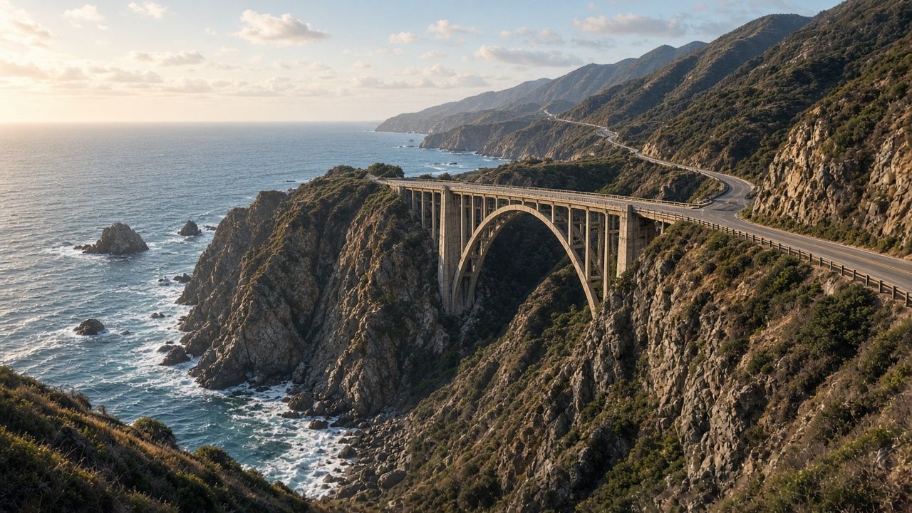
Pacific Coast Highway
San Francisco to San Diego along Highway 1: Big Sur cliffs, elephant seal beaches, and the quiet coves most people drive past.
Route details →Northlane is a small studio that plans road trips and expeditions across the United States. Custom maps, tested GPX tracks, and day-by-day itineraries you can actually drive.
Print and digital maps built for your route, with the stops, viewpoints, and fuel that matter.
Clean, tested tracks for car GPS, phone apps, and handhelds. Works offline where the signal ends.
Realistic driving days, lodging windows, park reservations, and a plan B for closures.
San Francisco to San Diego along Highway 1: Big Sur cliffs, elephant seal beaches, and the quiet coves most people drive past.
Route details →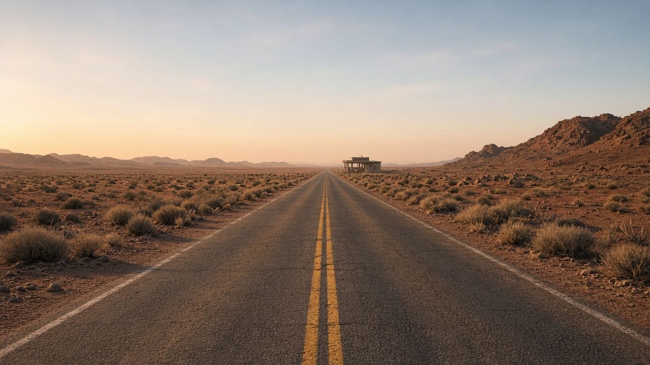
Chicago to Santa Monica on the Mother Road, with the surviving alignments, neon motels, and the Arizona and New Mexico stretches done properly.
Route details →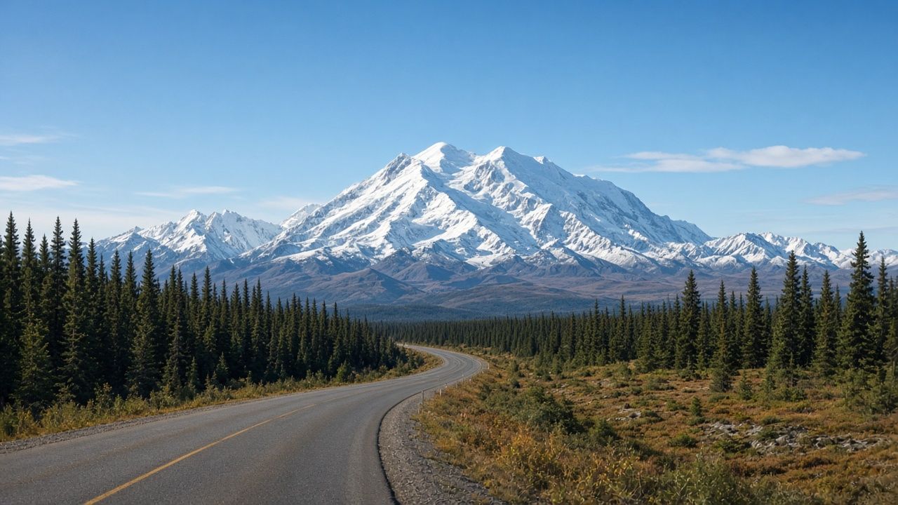
From Dawson Creek to Fairbanks, then south to Denali. Long fuel gaps, wildlife pullouts, and permit timing for the park road.
Ask about this route →“The GPX tracks were spot on. We drove Route 66 for two weeks and never once ended up on the interstate by accident.”— Mark, Ohio
“Big Sur closed the week before our trip. Northlane had already built the detour into our plan.”— Jenna, Oregon
“Our Utah loop worked around every timed-entry window. Calm, well-paced days.”— Luis, Texas
Tell us where, when, and how you like to travel. We reply within two business days.
Start planning